 |
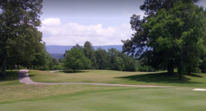
For tee times: 423-949-CLUB (2582) Location: 138 Madison Drive in Dunlap, TN 37327Located in the heart of the Sequatchie Valley near Dunlap, Tennessee; Mt. Airy Golf & Athletic Club featuring Old Madison Estates is naturally destined for success. This setting is unsurpassed for beauty and character, with abundant water supplies for lakes and streams, and is located for easy access throughout the Southeast Tennessee area. For these and other reasons, the owners “hand-picked” this location for this new development and golf course. |
Disc Golf in Downtown Dunlap, TN
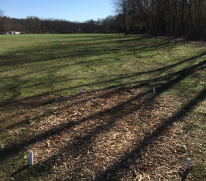 |
Disc Golf in Downtown Dunlap, TN |
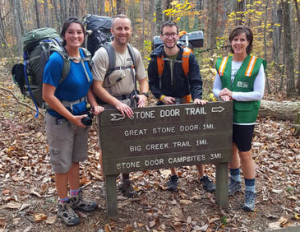
Trail Running/Hiking at Cumberland State Park
Canoeing/Kayak the Sequatchie River
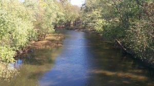 |
The Sequatchie River flows through 70 miles of the Sequatchie Valley, the long and narrow divide between the Cumberland Plateau and Walden’s Ridge. Throughout time, the river has played a major role in the cultural and natural history of the Sequatchie Valley. Today, this historic waterway offers slow and easy paddling opportunities, as well as the chance to enjoy the Sequatchie Valley’s breathtaking landscape by water. |
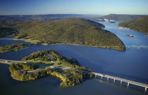 |
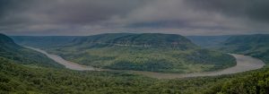
Nickajack Reservoir extends 46 miles upstream from the dam to Chickamauga Dam. The reservoir offers wide expanses of water and the spectacular scenery of the Tennessee River Gorge, known as the Grand Canyon of Tennessee.
Boat-launching ramps and fishing berms are located on both sides of the river below the dam, and a concrete fishing pier with footbridges and a wheelchair ramp is available. TVA camping and picnicking facilities are also available. Between late April and early October, nearby Nickajack Cave serves as habitat for roosting gray bats, an endangered species. At dusk, the sky is darkened as thousands of bats emerge from the mouth of the cave. |
Hang Gliding/Paragliding (We even have a school for it.)
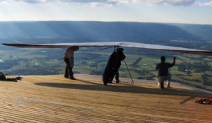 |
Henson Gap is owned by the Tennessee Tree Toppers. The site is rated for H2 pilots, but the LZ bumpy, is bordered by barbed wire and telephone cables, and is only partially mowed, so someone with an H2 rating should be confident in their approach and landing skills, and walk the LZ before flight. The launch ramp is wooden, and curves over the edge, which has an approx. 160′ vertical drop. Often ridge soarable on N to W days, the valley below is flat and dotted with many usable backup LZ’s. Launch area is shaded by trees, and features camping, restrooms with running water, indoor sleeping and cooking area, and plenty of good company.
Site works best in NW wind but is flyable in winds West to Northeast. The ridge curves around to the right of launch to face NE. PLENTY of clearance below launch. You may not fly here without signing a waiver! Waivers are available in the green box in front of the club house. |
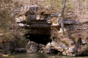 |
Sequatchie Cave is a 10-acre natural area located in Marion County. It is a biologically significant area located where Owen Spring Branch flows from the mouth of the cave at Sequatchie Cave Park. The cave and its cold spring water support three federally and state-listed animal species, three other species of state concern, and many other aquatic and cave species. |
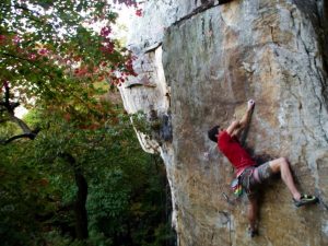 |
Castle Rock is a South facing turret of Sandstone that, for many years, represented how painfully close yet far away ‘Closed’ crags can be in the Chattanooga region. The obvious u-shaped cliff line overlooks the small town of Jasper, Tennessee and is located on private property. Thankfully, in 2005 the Southeastern Climbers’ Coalitionnegotiated and signed a land-lease to access and climb on the cliffs at Castle Rock. Also thanks to negotiated lower access, the approach to this once remote cliff can be done in a mere 10 minutes. |
Running Events. (Valley Fest 5k/10k Registration Here)
South Cumberland Plateau (South Cumberland Chamber of Commerce, South Cumberland State Park, Fall Creek Falls.)
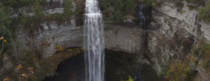 |
We have multiple parks in the Sequatchie Valley. South Cumberland Chamber of Commerce, South Cumberland State Park, Fall Creek Falls. (Click on the appropriate link for their sites.) |
Neighboring Community Links


